The Nłeʔkepmx and syilx people understand that all sources of water are connected and that water has spirit and all spirit has purpose.
Geography
The Nicola watershed is situated in the Thompson River Basin. Across the Nicola watershed, water from rain and ice melt flow through and over land to enter the Nicola River and its tributaries, including Coldwater river, Guichon Creek, Moore Creek, Clapperton Creek, Stump Lake Creek, Quilchena Creek, and Spius Creek, each of which have their own smaller tributaries. The waters that are now part of the Nicola River, flow to meet the Thompson River, which then joins the Fraser River in its journey towards the ocean, 235 km away. Some water also flows through land or from rivers into underground aquifers in the watershed, which can provide water back to rivers as well as to people through wells and springs. On its journey, these waters meet and sustain the people, fish, plants, animals and insects whose life stories are connected with the Nicola watershed.
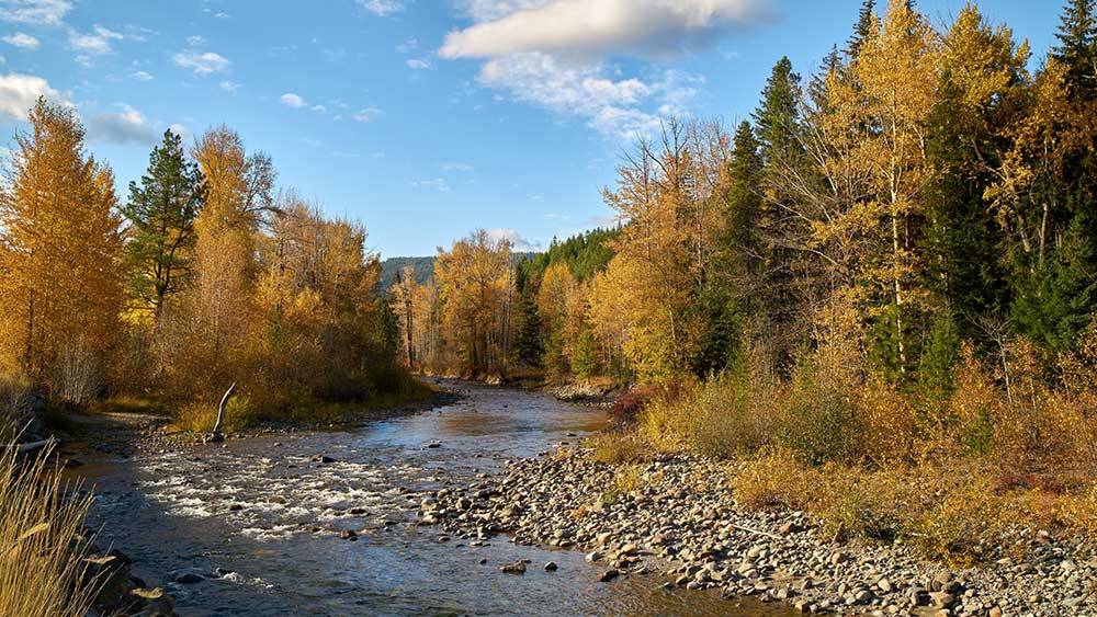
Autumn colours along the Coldwater River near Merritt, BC.
Culture and Ecology
The watershed is home to approximately 7,000 people including the Reserves of the Coldwater, Lower Nicola, Nooaitch, Shackan and Upper Nicola Indian Bands as well as the City of Merritt. The waters of the Nicola are also home to Burbot, Chinook, Kokanee, Steelhead, and Trout, amongst other important aquatic species. While walking near the water you might notice wild rose, red and silver willow, and saskatoon bushes, Canada Geese, swans, beavers, and otters on any given route.
Climate
If you have lived in the Nicola watershed you will know that spring can bring a lot of water – sometimes flooding – as ice that has been frozen all winter starts to melt. While flooding is natural, it can be destructive, especially when it occurs where people have built their homes and farms.
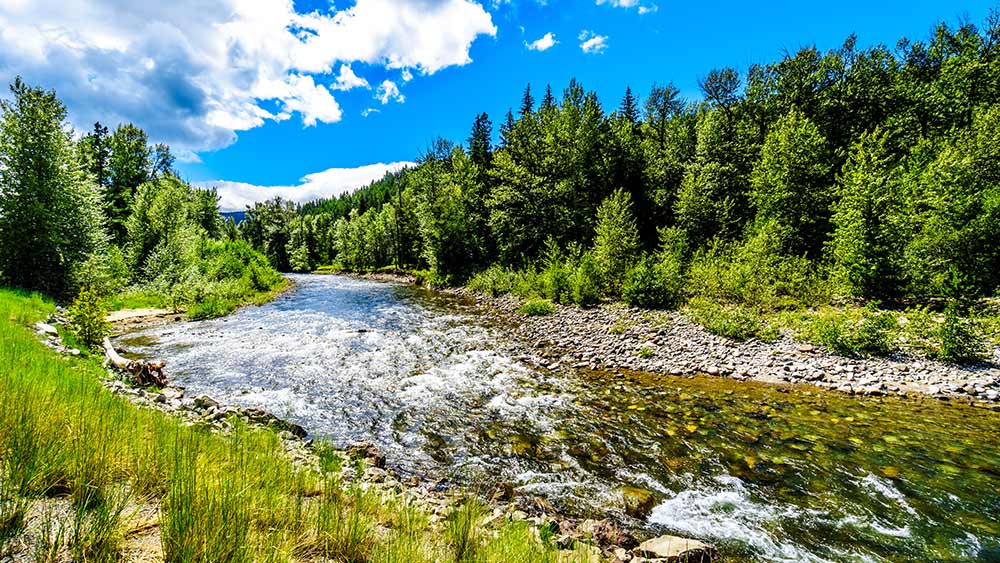
The fast flowing water of the Coldwater River near the intersection between the Coldwater Road and the Coquihalla Highway between Hope and Merritt in British Columbia, Canada.
Hot dry summers typically follow the spring freshet, causing severe drought and water scarcity. When there is not enough water in streams, or when too much riparian vegetation is removed, the water can get too hot for fish and other aquatic species to survive. When water levels are too low, fish species such as Chinook, who have journeyed all the way from the ocean to spawn, find it very hard to complete their journey and create the next generation. Pollutants entering streams also become more concentrated during low flows, making the water unsafe for fish and people. At the same time, droughts create pressure on those who rely on water for their crops and animals. Drinking water sources can be compromised, especially wells.
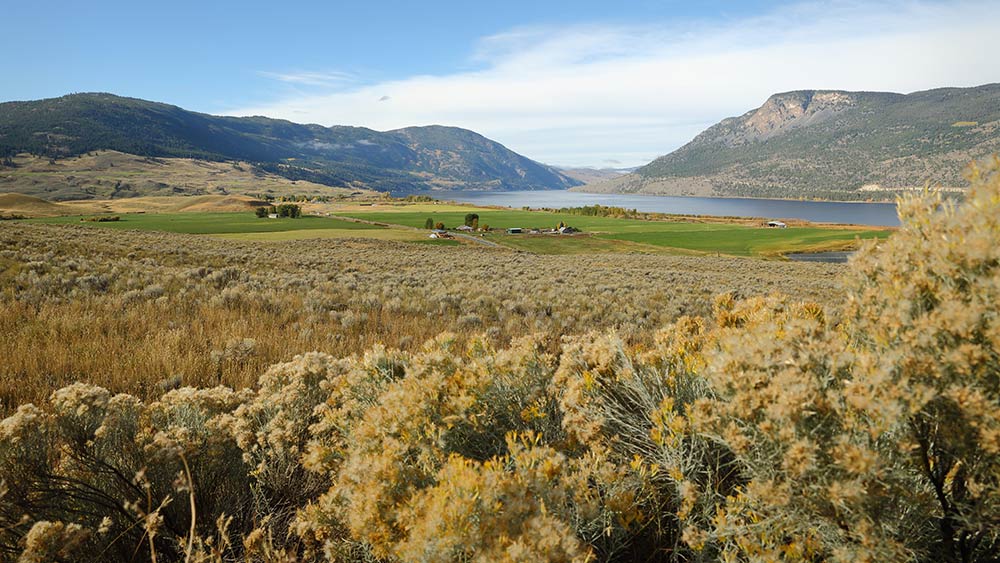
The Nicola Valley and Nicola Lake near Merritt. British Columbia, Canada.